In tune with where you live
Find your household's risks.
Enter your postcode and answer a few questions about your household. We'll use official Australian data, this season's conditions and your own household details to help you understand the risks around your home.
Create a free account to save your answers and report. You can see your risk type for free. The full season report costs A$14.99.
See how a household gets its risk type
Your risk type comes from your home, your risks and your readiness.
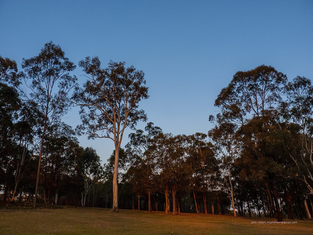
Katoomba 2780 · the bush touches the fence · an older member at home · medicine kept refrigerated · go-bag packed.
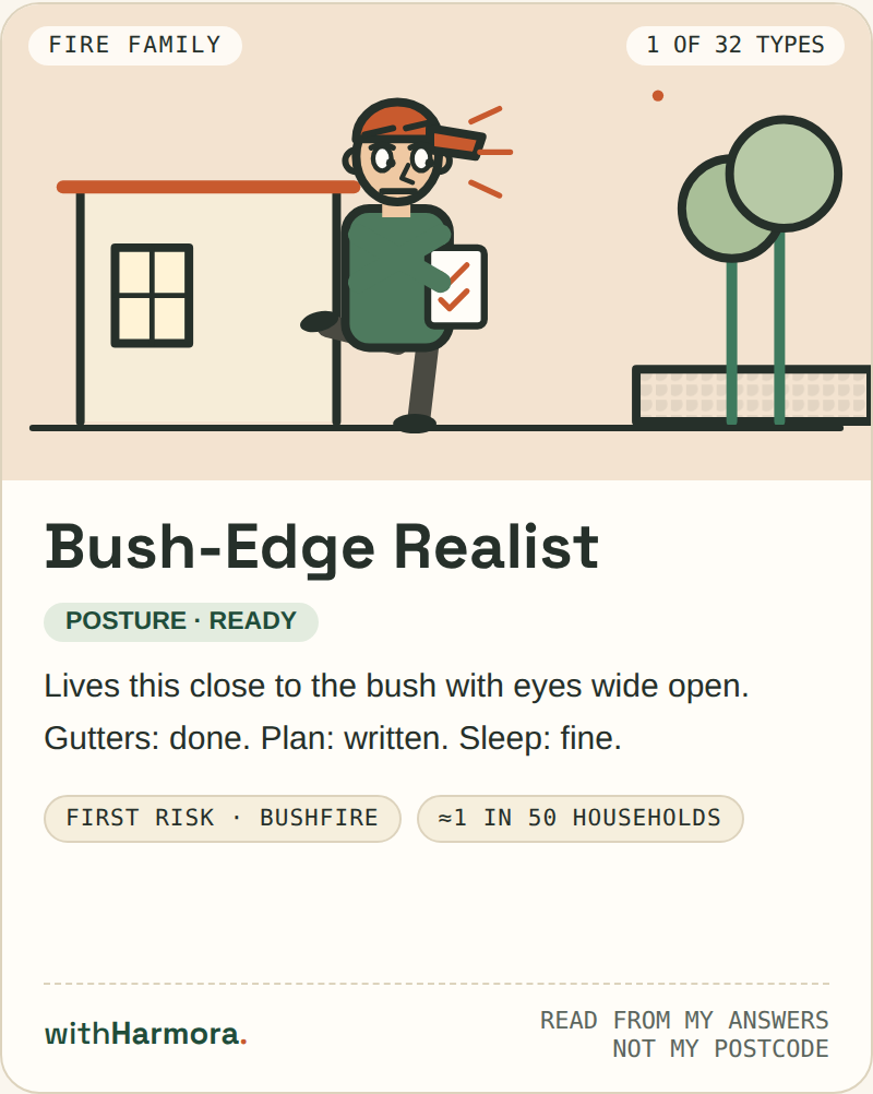
We've grouped household risks into six risk families and four postures. Your report brings together the risks around your home and how prepared your answers show you to be.
That gives us 24 combinations, plus eight more risk types for households with one defining detail, such as a single road out. Together, that makes 32 household risk types.
The Katoomba sample household is The Bush-Edge Realist. Its top risk is bushfire (incl. grassfire), 98 of 100.
Your result reflects your own household and circumstances.
Choose your report
See your risk type for free. Pay once for the full season report.
01
Your risk type
- Your risk type reveal
- Finish the check to see your result
- Get a card you can share
A$0
02
Your full season report
- All 91 risks, explained
- Understand your household across four dimensions
- Follow a four-stage plan, ordered by what helps most
- One payment covers your full season report
A$14.99
03
Four seasons, one pack
- Get a fresh edition each season turn
- Each edition is delivered to your account
- Four individual reports would cost A$59.96
A$39
Every morning
Get the latest reading of your home's risks each morning.
Each morning, the Today page updates around that day's stand-out signal, giving you a fresh view of the risks relevant to your home. The postcode preview is public. The full reading is available to registered households.
Tuesday 27 October 2026 · Katoomba 2780
Heat & UV lead today
36° and extreme UV
Sample signal: the peak UV window is 11:30–14:50 — yard work belongs outside it.
Morning Sunrise at 06:04; the light is workable from first light, and any outdoor job is easiest before the UV window opens at 11:30.
Midday Midday runs to 36° with UV 12 across 11:30–14:50 — the peak of the day, and the part of it the plan is written around.
Evening Sunset at 19:21, closing a 13 h 17 m day — 2 minutes longer than yesterday; tonight cools to 28°.
Sun times calculated for this postcode's position — never estimated. Weather values are labelled samples until the official feeds land.
Drawn for Katoomba 2780 · Tuesday 27 October 2026 · from today's official signals: sunrise & sunset for your coordinates · official bushfire mapping for your postcode · SILO heat record, 2005–2024 · NPWS fire history.
See the full Today pageOfficial sources and coverage
Every conclusion comes from official data.
Postcodes with verified official bushfire mapping
Risks assessed for every household
Postcodes with SILO heat figures
BUILT ONLY ON OFFICIAL SOURCES — STATE FIRE & EMERGENCY SERVICE MAPPING, NPWS FIRE HISTORY, BUREAU OF METEOROLOGY OBSERVATIONS VIA SILO, ABS BOUNDARIES, AUSTRALIAN RED CROSS GUIDANCE. The method, in full →
Questions and answers
Checking your risk type is free, your address is never stored, and your report is not official advice.
Do I pay to look?
No. Your risk type reveal is free. The full season report is A$14.99; the four-season pack is A$39.
Do you keep my address?
No. Your address is optional. It sharpens the reading, is used for one calculation, and is never stored.
Is this official advice?
No. withHarmora is an independent reading of official data. In an emergency, call 000 and follow your state fire or emergency service.
withHarmora is an independent information service, not an emergency service, and does not replace official warnings. In an emergency, call 000 — and follow your state fire or emergency service and the Bureau of Meteorology. Terms · Method & sources